
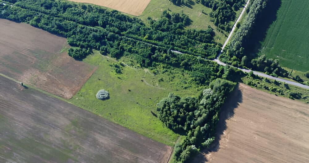
Kajiado County, Kenya
Land surveyors in Loitokitok
Loitokitok and the Kimana area at the foot of Kilimanjaro are known for irrigated farming, and more families are now formalising and dividing land that was once held in group ranches.
Surveying land in Loitokitok
Farm boundaries here often follow old fence lines and water furrows rather than surveyed beacons. Before land changes hands or is shared out among family members, we confirm what the records say and mark it clearly on the ground.
How we work in Loitokitok
We are based in Kajiado Town, so sites in this part of the county are close by. We can usually schedule a visit within a few days, and we know the local lands and planning offices well.
What clients in Loitokitok usually ask us for
- Boundary surveys for irrigated farms
- Subdivision of group ranch and family land
- Title deed processing after subdivision
- Mapping of larger holdings with drones
Loitokitok survey FAQs
Do you work as far as Loitokitok and Kimana?
Yes. Loitokitok is in Kajiado County, our home county. We plan field trips to Kajiado South and include travel in the quote, so there are no surprises.
Can you help divide group ranch land among family members?
Yes. We survey the parcel, prepare the subdivision scheme, and follow it through the approvals so each member gets their own title.
Nearby areas we also serve
Our services in Loitokitok
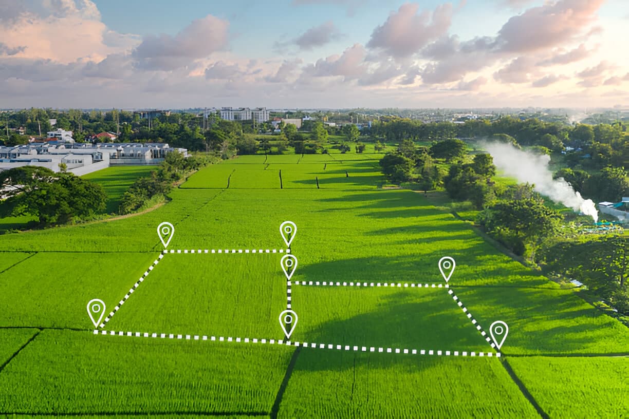
Boundary & Beacon Surveys
Find, verify and re-establish the beacons on your plot so you know exactly where your land starts and ends.
Learn more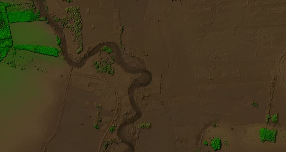
Topographical Surveys
Detailed site plans with levels, contours and features that architects and engineers can design from with confidence.
Learn more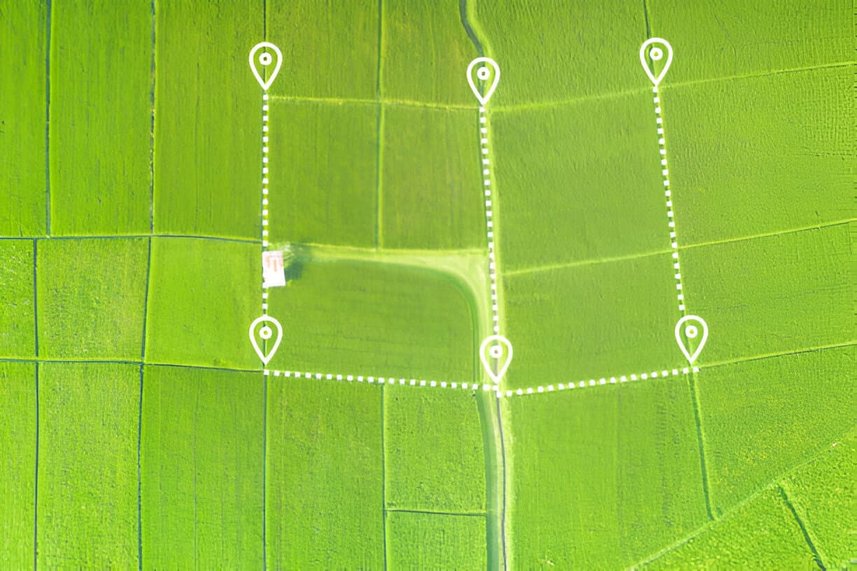
Subdivision & Amalgamation
Split land into separate plots or merge neighbouring parcels into one, with the survey work and approvals handled for you.
Learn more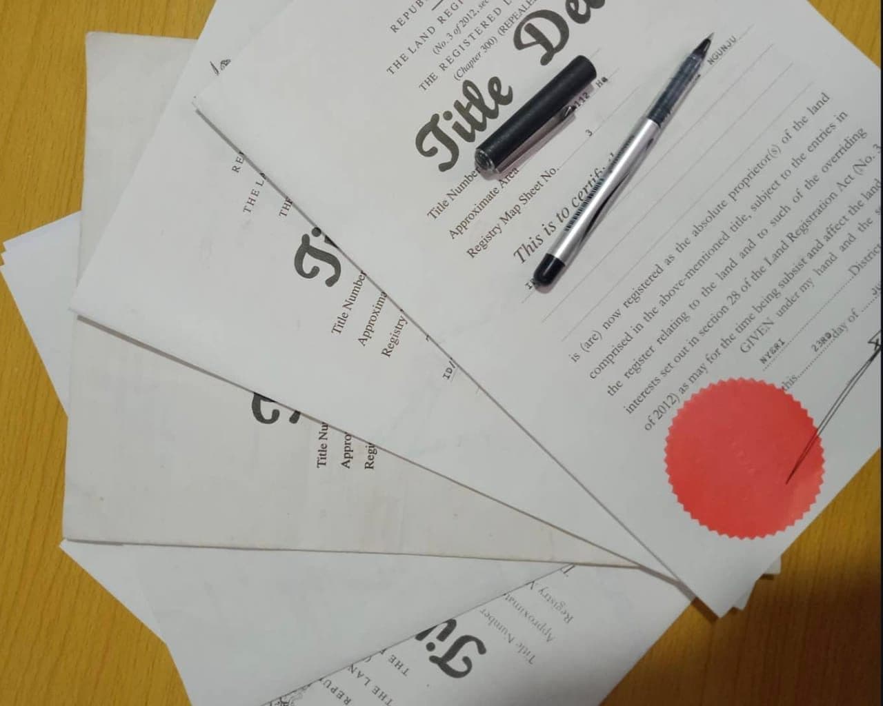
Title Deed Processing
Survey work, documents and follow-up with lands offices to help you get a valid title deed with less stress.
Learn more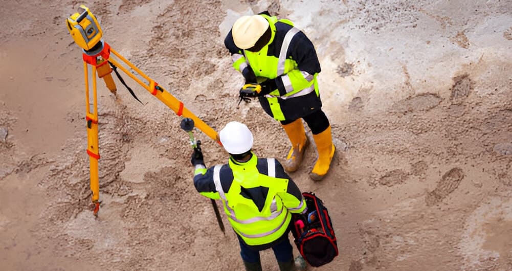
Construction Setting Out
Foundations, gridlines, levels and road alignments marked exactly to design, so you avoid costly mistakes on site.
Learn more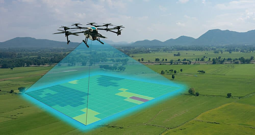
GIS & Drone Mapping
High-resolution drone maps, GIS databases and spatial analysis for planning, projects and land management.
Learn moreNeed a surveyor in Loitokitok?
Tell us where the land is and what you need. We'll reply quickly with clear advice and a quote.