Overview
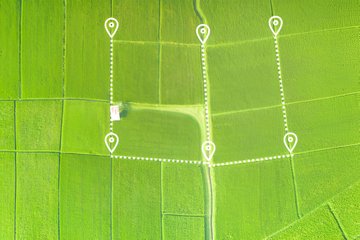
A topographical survey maps everything on and around your site: ground levels, contours, buildings, trees, roads, drainage, power lines and other features. Architects, engineers and planners use it as the base for design, so its accuracy decides how smoothly the whole project goes.
We combine RTK GNSS, total stations and drone mapping to capture the site quickly and accurately, then deliver drawings in the formats your design team uses.
When you need it
- Before an architect or engineer starts design work
- For building plan and planning approval submissions
- For road, drainage, water and other infrastructure design
- To calculate cut-and-fill and earthwork volumes
- On sloped or hilly plots, such as around Ngong and Kiserian
What you get
- Topographical plan with spot heights and contours
- Positions of buildings, trees, fences, roads and utilities
- CAD (DWG/DXF) and PDF drawings
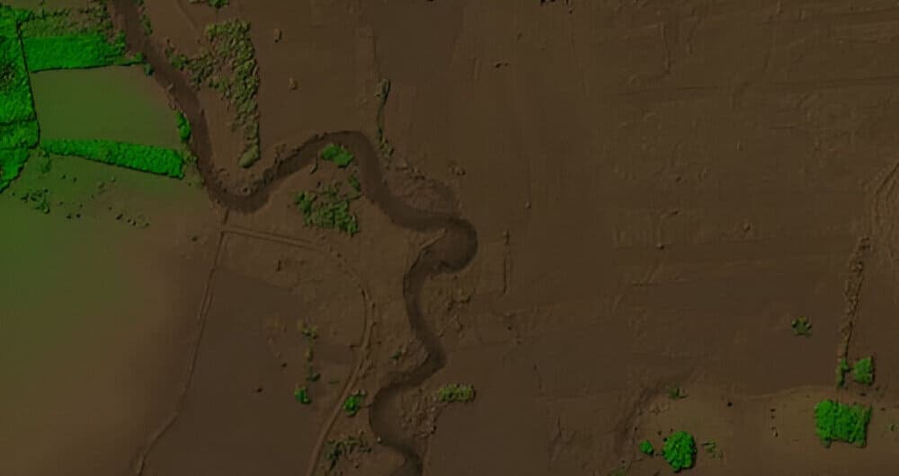
- Digital terrain model and 3D surface on request
- Drone orthophoto for larger sites on request
Our process
- 1
Scope
We agree on the area, level of detail and contour interval your design team needs.
- 2
Control
We set up survey control points so every measurement ties to a reliable reference.
- 3
Data capture
Ground and drone survey of levels and features across the site.
- 4
Drawings
We process the data and deliver CAD, PDF and 3D outputs ready for design.
Frequently asked questions
What contour interval do I need?
For most building plots, 0.5 m or 1 m contours work well. Roads, drainage and large developments may need finer detail. We advise you based on what your architect or engineer needs.
Can you send the drawings straight to my architect?
Yes. We deliver CAD (DWG/DXF) and PDF files and can share them directly with your design team.
Do you use drones?
Yes. For larger or hard-to-reach sites we use drone mapping together with ground survey, which speeds up the work and adds a detailed aerial image of the site.