
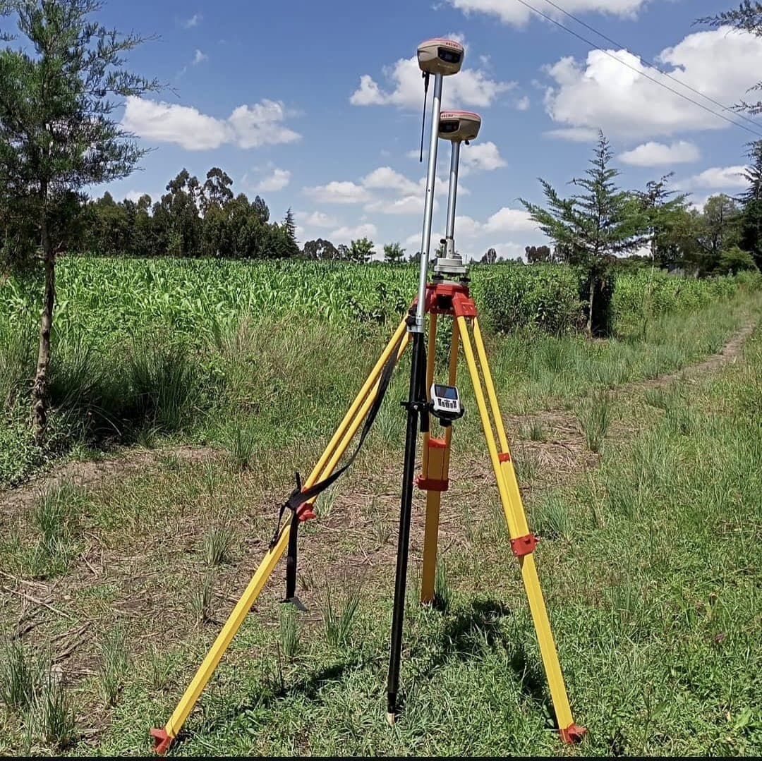
Kajiado County, Kenya
Land surveyors in Kajiado Town
Our office is in Kajiado Town, along the Nairobi–Namanga Road, so we can reach most sites in the county quickly and work closely with the local planning and lands offices.
Surveying land in Kajiado Town
As the county headquarters, Kajiado Town handles many of the county's land approvals. Being nearby lets us follow up on applications in person, and helps clients who need surveys done alongside county processes.
How we work in Kajiado Town
We are based in Kajiado Town, so sites in this part of the county are close by. We can usually schedule a visit within a few days, and we know the local lands and planning offices well.
What clients in Kajiado Town usually ask us for
- Beacon verification before buying plots around town
- Subdivision of family and group ranch land
- Title deed processing and follow-up
- Topographical surveys for commercial buildings
Kajiado Town survey FAQs
Can I visit your office in Kajiado Town?
Yes. We are along the Nairobi–Namanga Road in Kajiado Town. Please call or WhatsApp ahead so the right person is available to meet you.
Do you cover areas outside Kajiado Town?
Yes. We work across Kajiado County, including Kitengela, Isinya, Ngong, Kiserian, Ongata Rongai and Namanga, as well as Nairobi and other counties.
Nearby areas we also serve
Our services in Kajiado Town
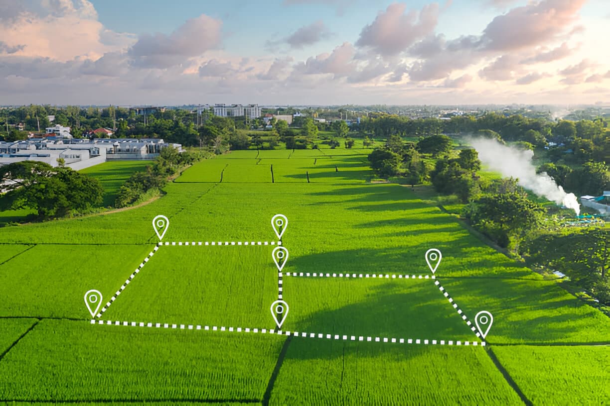
Boundary & Beacon Surveys
Find, verify and re-establish the beacons on your plot so you know exactly where your land starts and ends.
Learn more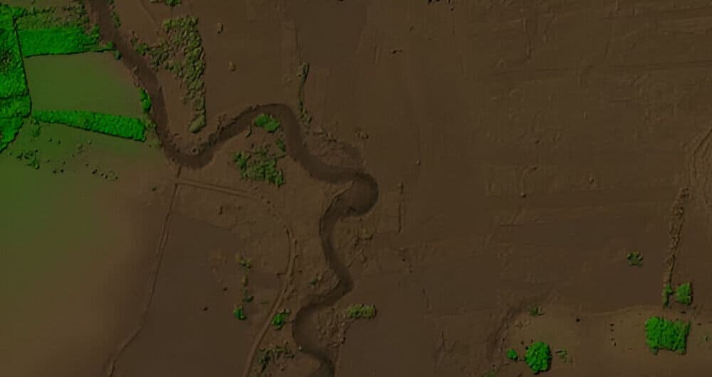
Topographical Surveys
Detailed site plans with levels, contours and features that architects and engineers can design from with confidence.
Learn more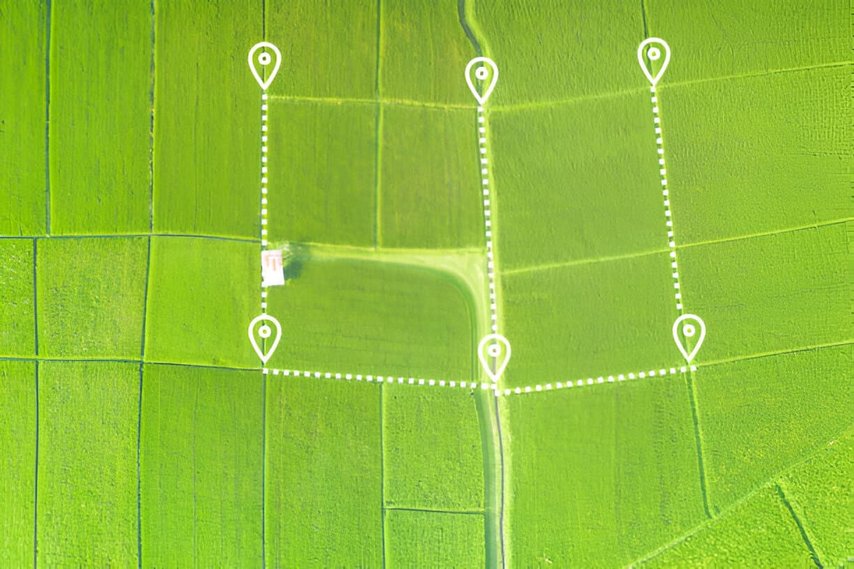
Subdivision & Amalgamation
Split land into separate plots or merge neighbouring parcels into one, with the survey work and approvals handled for you.
Learn more
Title Deed Processing
Survey work, documents and follow-up with lands offices to help you get a valid title deed with less stress.
Learn more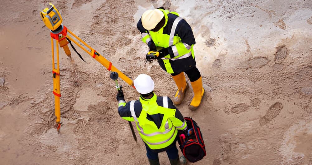
Construction Setting Out
Foundations, gridlines, levels and road alignments marked exactly to design, so you avoid costly mistakes on site.
Learn more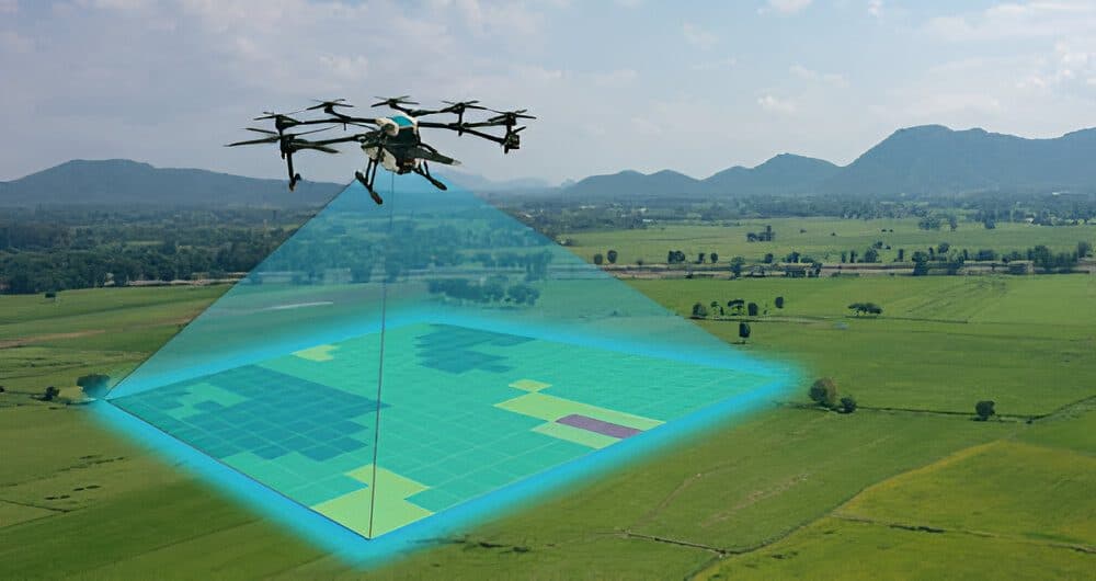
GIS & Drone Mapping
High-resolution drone maps, GIS databases and spatial analysis for planning, projects and land management.
Learn moreNeed a surveyor in Kajiado Town?
Tell us where the land is and what you need. We'll reply quickly with clear advice and a quote.