Trends
Emerging GIS Trends Shaping Land Surveying
AI, drones, cloud GIS, real-time data, mobile apps and 3D mapping: the GIS trends changing how land is surveyed, planned and managed in Kenya.
By Survlution Kenya Survey Team · · Updated · 5 min read
Geographic Information Systems (GIS) are changing fast. New tools make it quicker and more accurate to collect, analyse and use spatial data in surveying, planning and environmental monitoring. These are the trends having the biggest impact.
1. AI and machine learning
Machine learning can now classify land use, spot changes in vegetation and terrain, and flag issues automatically. It reduces human error and speeds up analysis of large areas, for example spotting encroachment or flood-prone zones in satellite imagery.
2. Drone-powered data collection
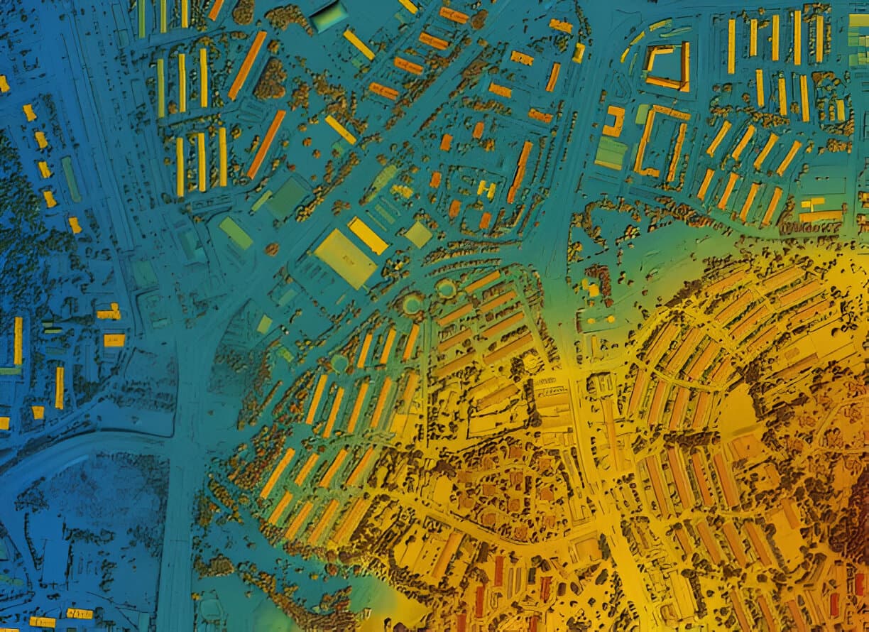
Drones with high-resolution cameras and LiDAR capture detailed terrain data in a fraction of the time of traditional methods, and reach places that are hard to access on foot. The data goes straight into GIS for 3D mapping and surface models.
3. Cloud-based GIS
Platforms such as ArcGIS Online, QGIS Cloud and Google Earth Engine let teams upload, share and work on data from anywhere. That speeds up decisions and makes managing projects remotely much easier.
4. Real-time spatial data
With GPS, sensors and IoT devices, spatial data can be shown and analysed as it is collected, which helps with tracking construction progress or monitoring deforestation as it happens.
5. Mobile GIS applications
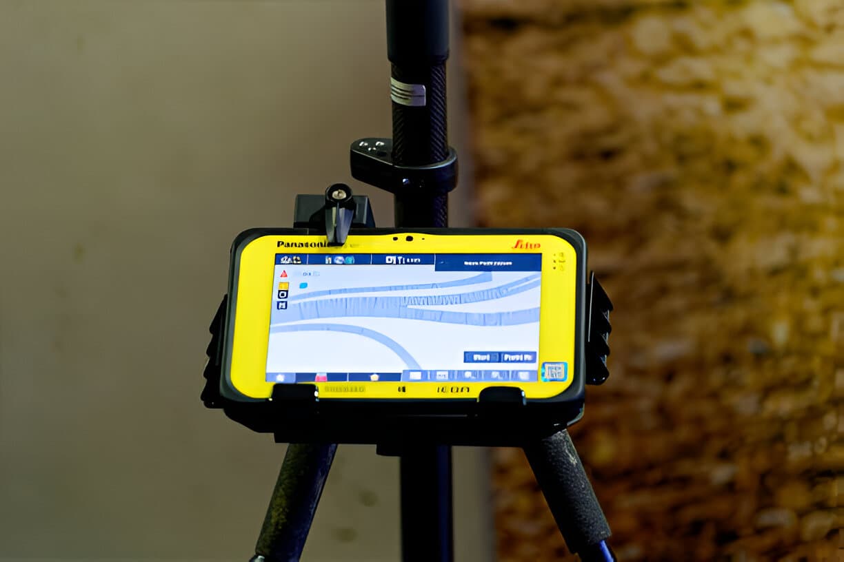
Field apps such as ArcGIS Field Maps, Survey123 and Mappt let surveyors collect, edit and sync data straight from a phone or tablet. There is less paperwork and less risk of losing data, even in remote areas.
6. Better 3D mapping and visualisation
3D GIS tools model terrain, buildings and infrastructure in great detail, which is valuable for construction planning, utility mapping and development approvals.
Conclusion
GIS has moved beyond map-making to become a tool for insight, prediction and automation. Keeping up with these trends means better service, better planning and better decisions for land owners and developers.