Trends
Real-Time Mapping: Faster Decisions on Site
How real-time mapping with RTK GNSS, mobile GIS and drones helps surveyors, engineers and developers make faster, more accurate decisions on site.
By Survlution Kenya Survey Team · · Updated · 4 min read
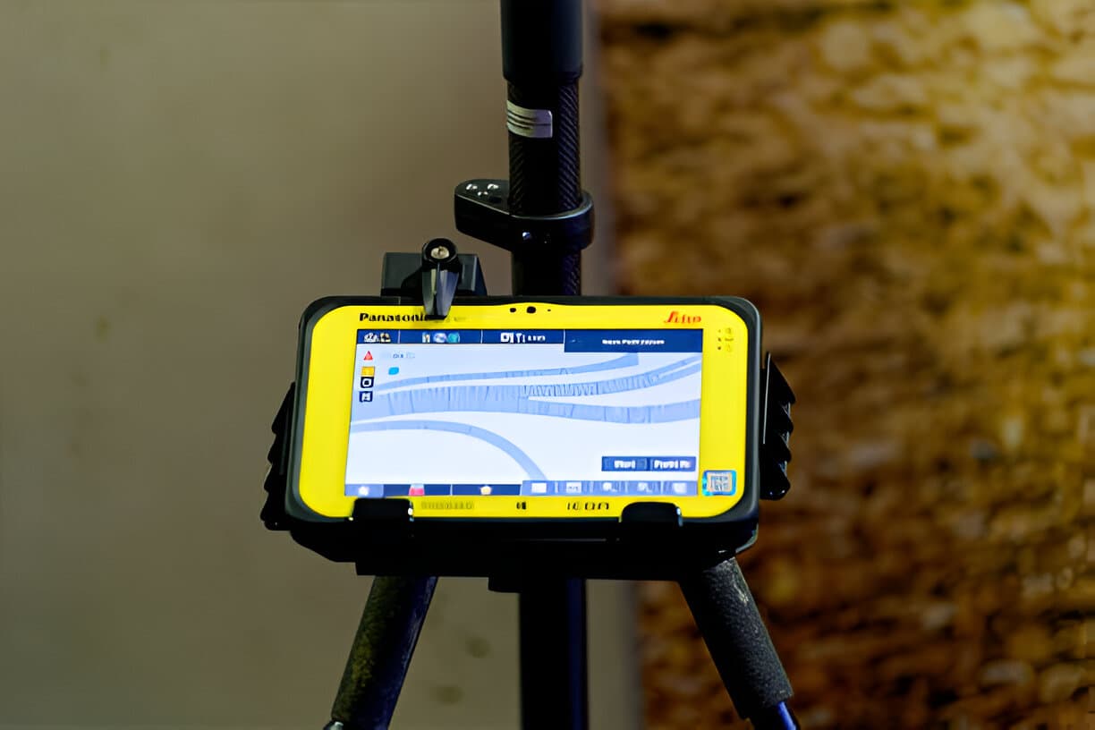
Real-time mapping gives surveyors, planners and developers location data the moment it's collected, so they can make faster and better-informed decisions.
What is real-time mapping?
It is the continuous collection, transfer and display of spatial data as things happen. Traditional GIS relies on processing data after fieldwork; real-time mapping uses sensors, mobile devices, GNSS and IoT to deliver live information.
Key benefits
- Faster decisions
- Teams respond immediately to changes in site conditions or risks.
- Better accuracy
- Continuous updates mean nobody works from outdated data.
- Better collaboration
- Field and office teams see the same live map.
- Earlier warnings
- Flooding, encroachment or construction deviations are spotted early.
Technologies behind it
- GNSS and RTK GPS for centimetre-level positioning
- Mobile GIS apps such as ArcGIS Field Maps and Survey123
- IoT devices and environmental sensors
- Drones with live video
- Cloud GIS platforms for instant sharing
Challenges
- Reliable internet connectivity on site
- Storage for large volumes of data
- Trained people to interpret the data
- Investment in compatible hardware and software
Conclusion
Real-time mapping is changing how spatial data is used in planning, surveying and environmental management, and it is becoming essential for teams that want to stay competitive, compliant and ready for what comes next.