Mapping
Sustainable Land Mapping With GIS
How GIS-powered sustainable land mapping helps Kenya balance development with conservation: benefits, applications, tools and challenges.
By Survlution Kenya Survey Team · · Updated · 4 min read
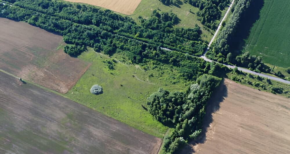
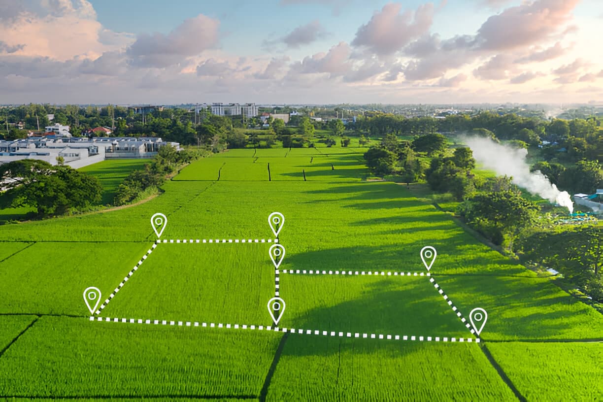
As land becomes scarcer, managing it sustainably is essential. GIS-powered land mapping helps planners, governments and developers balance development with conservation and long-term productivity.
What is sustainable land mapping?
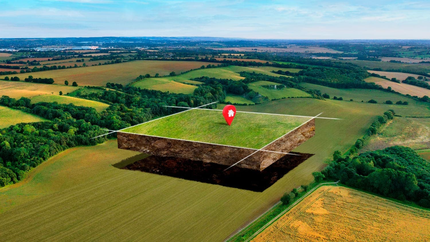
It uses GIS to evaluate, plan and manage land for long-term environmental, social and economic health. By mapping land use, terrain, natural resources and human impact, it supports planning that avoids degradation and conflict.
Why it matters
- Protects natural resources
- Identifies forests, wetlands and farmland to protect from sprawl.
- Supports smart development
- Keeps infrastructure away from ecologically sensitive areas.
- Reduces environmental risk
- Maps erosion zones, floodplains and deforestation.
- Promotes fair land use
- Supports fair allocation and reduces conflict over resources.
Applications
- Urban and regional planning with green space and controlled growth
- Agricultural land assessment: soils, crop suitability and water access
- Environmental impact analysis before development
- Mapping community land to support fair land governance
Tools used
- GIS software (ArcGIS, QGIS)
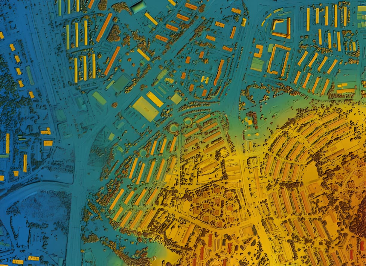
- Satellite imagery and remote sensing
- Drone mapping for land cover monitoring
- Topographical and cadastral data layers
- Geostatistical analysis models
Conclusion
Sustainable land mapping guides development that is productive and responsible, protecting ecosystems while meeting the needs of a growing population.